Culture · A closer look
A map that was never meant for tourists.
Fire-insurance maps can reveal an unfamiliar city inside a familiar street—if we remember the question they were made to answer.
October 2, 2026 · About 3 min read · Editorial
View figure data
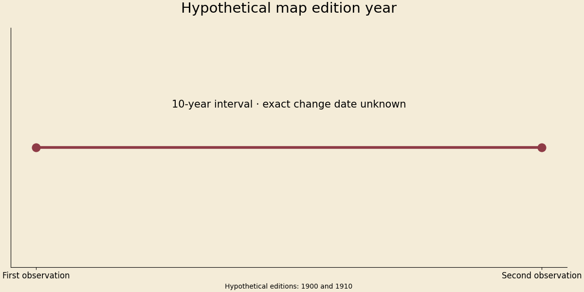
| Observation | Hypothetical map edition year |
|---|---|
| First observation | 1900 |
| Second observation | 1910 |
Read, listen & keep
The shared player shows current recording availability and offers an MP3 download when ready.
Read the purpose before the place
A street map asks how to get somewhere. A fire-insurance map asks a different set of questions about the same buildings. The Library of Congress explains that Sanborn maps recorded construction, use and other details relevant to insurance. That original purpose helps explain why an apparently ordinary block can appear dense with information. [1]
An archive becomes easier to read when we ask who needed it and for what decision. Details that seem charming today once served an operational purpose. Conversely, something absent from the map may have been central to residents' lives but irrelevant to its original users. A precise-looking document is still a selective account.
Color is a statement, not decoration
The Library's interpretation guide explains the importance of colors, symbols and keys. Its historical overview describes standardized symbols and formats developed with the insurance industry. Read the key for the actual sheet you are using rather than assuming that a color means whatever it means on a modern map. [1,2]
This is a useful connection to cinema. A color in a film can direct attention or carry an association, while a color in a technical map can encode a category. Both ask us to notice a visual choice; only one necessarily comes with a formal legend. The pleasure of looking closely includes recognizing which kind of claim an image is making.
The years between two sheets
The Library's Sanborn time-series essay shows how successive editions can help investigate changes in a place. The available editions constrain the precision of the conclusion. A building present on one sheet and absent on another does not, by itself, reveal the exact day it disappeared. [3]
Suppose, purely as a teaching example, that a structure appears in an edition dated 1900 and is absent in an edition dated 1910. If the sheets are comparable and reflect their stated dates, they suggest an interval to investigate, not a demonstrated demolition date of 1905. The chart marks the two observations and the ten-year gap. It uses invented observations; it is not a finding about a real building.
A newspaper notice, permit or photograph might narrow that interval. It might also reveal a correction or a mismatch in location. Combining records is therefore more than collecting corroboration. It is a chance to discover that the first question was framed too confidently.
Try one block, slowly
Choose a place you know and search the Library's collection for a historical sheet. Start with the publication date, scale and legend. Write down one observation, one interpretation and one question that needs another source. Keeping those three lines separate prevents an attractive story from becoming an unsupported fact.
The takeaway is that archives reward curiosity and restraint together. You can notice a workshop, a changed use or an unfamiliar street name without pretending to have recovered every life lived there. What would a map of your own neighborhood fail to capture, even if every building were drawn perfectly?
Sources & editorial notes
- Library of Congress · Introduction to the Sanborn collection
Purpose and historical development of fire-insurance maps.
- Library of Congress · Interpreting Sanborn Maps
Colors, symbols, keys and interpretation.
- Library of Congress · Sanborn Time Series
Comparing successive map editions and limits on dating changes.
Sources checked October 2, 2026. Historical context and an evergreen editorial exercise; not a new research finding. Calculations and interpretations are ours. No independent expert review is claimed.